Wolftown Mercantile
Map 10: AT in Shenandoah National Park (Central District)
Map 10: AT in Shenandoah National Park (Central District)
Couldn't load pickup availability
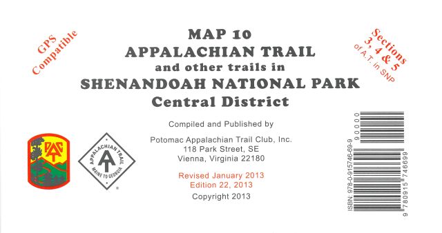
(22nd edition, 2013) This map covers SNP Sections 3, 4, and 5 (34.6 miles) of the A.T. as described in the A.T. Guide for SNP, and all side trails in the Central District of SNP. Printed on water-resistant, tear-resistance synthetic stock in 6 colors. Scale 1:62,200. Contour interval 100 feet. The grid projection is the UTM system with lines plotted 5 kilometers apart. The UTM grid permits easy plotting or extraction of coordinates by those persons using GPS devices. On the back side are detailed enlargements of the Skyland, Hawksbill, Lewis Mountain, Big Meadows, and South River areas. NOTE: Panorama Restaurant at Skyline Drive and US-211 is closed. Gift store and restrooms available in season
Regular price
$10.95 USD
Regular price
Sale price
$10.95 USD
Unit price
per

-
Free Shipping
Any order over $50.00

